
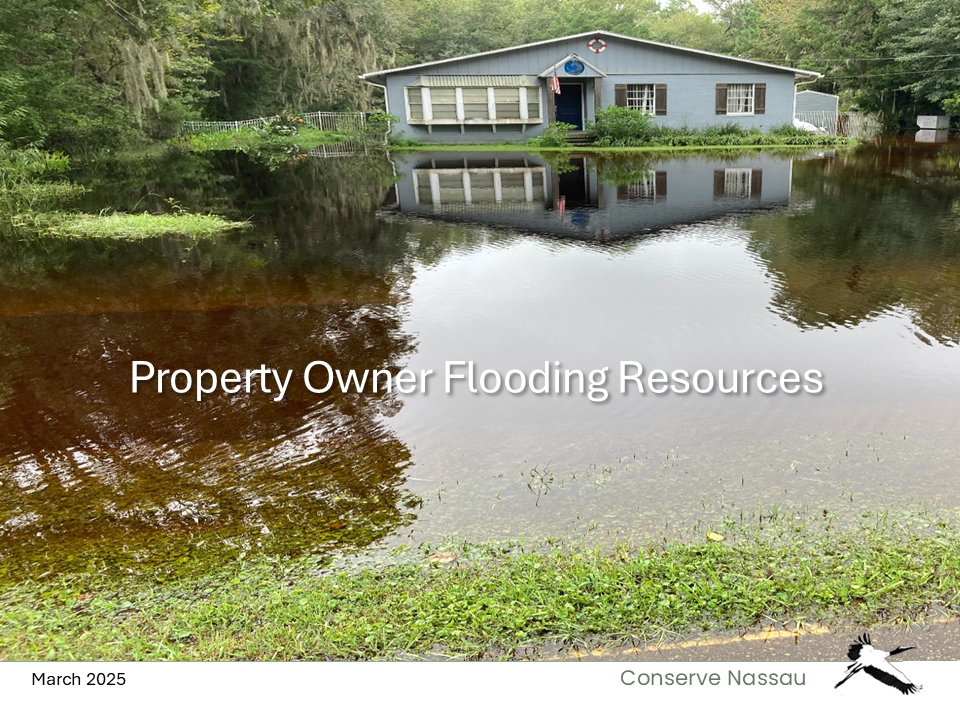
Flooding

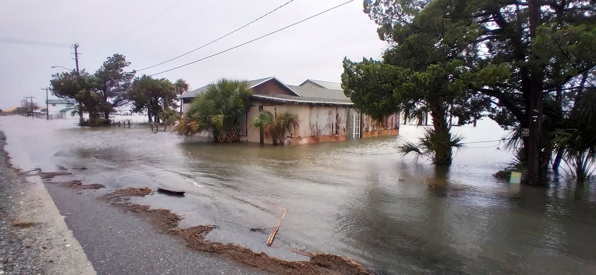
Amelia Island neighborhood flooding after a heavy storm.
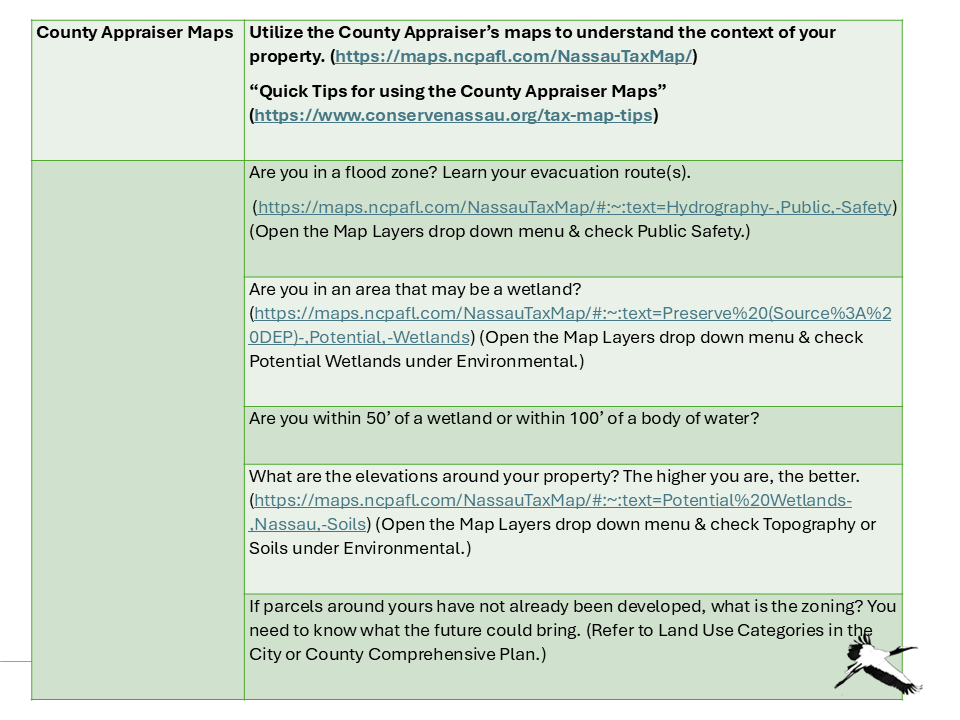
Conserve Nassau general recommendation:
1. We need the following foundation:
o A thorough understanding of the topography and hydrology of the area (beyond any individual parcel under consideration).
o A thorough understanding of weather/climate projections for this area and projections for sea level rise.
2. Based on this knowledge base, the Comprehensive Plan, Land Development Code and other policies should be updated to determine where we can develop, what should be developed, and how it should be developed.
Stormwater
There are extensive examples of flooding in various parts of Amelia Island and throughout much of the County. Many of these areas have experienced considerable recent development, with dramatic increases in impervious surface and loss of the trees that had previously provided stormwater management. Conserve Nassau has held a series of meetings with the Nassau County and Fernandina stormwater engineers and other staff to address issues and educational opportunities . The developments have been:
Strong collaborative efforts by the County and City Stormwater Engineers, Katie Peay and Andre Desilet, involving quarterly meetings, mutual support and coordination.
Cleaning of many mid-island drainage ditches by the County Roads Dept. and significant progress in culvert repair.
County applications for Nassau River and St Marys River watershed master plan grants.
The recently initiated City update of its Stormwater Master Plan.
Conserve Nassau’s general recommendation regarding preparation for the future.
Conserve Nassau’s soon-to-be-released resource recommendations for property owners.

Projected 2100 flooding (USACE, medium projection) and NOAA Mean Sea Level trends relative to 1992 at Fernandina Beach.
Sea Level & Storm Surge
Increasing sea level is projected to have minimal increased inundation on the ocean side of Amelia Island with most of the change on the west side and in the marshes.
Vulnerability Assessment – City of Fernandina Beach provides an overview of sea level concerns and areal impacts in the city.
Sea level rise will exacerbate flooding from storm surge however on both sides of the island, reduce marsh protective functions to lands at higher elevations and changing natural area composition. Shoreline protections include living shorelines that provide natural protection and maintain coastal processes.
Historic downtown Fernandina Beach is subject to flooding from storm events. In this presentation, coastal geomorphologist and civil engineer Frank Hopf explains the potential extent of flooding and the effectiveness of a recent flood wall.

The Thomas Creek ecosystem is being protected with Nassau County buyouts of existing homes in the floodplain.
Ecosystem Value of Flooding
While flooding may be a vulnerability in the built environment, in wetland communities it is an essential component for maintaining healthy ecosystems and habitats. Many species are wetland dependent for their food and habitat. Many species also depend on wetland/upland interactions and use wetlands for movement among habitats. Regular flooding provides sediment, nutrients and other components for a healthy ecosystem and enhanced species diversity. For the built environment, wetlands provide water quality protection and mitigation from flooding and storm surge. Impacts from development may change wetland hydrology and flooding patterns with consequences to floral and faunal abundance and composition. The best solution to both flooding vulnerability and habitat protection is to not build in flood-prone areas in the first place.